Union Territories (UTs)
Top Famous Indian Beaches
Famous Lakes
Temples
National Parks
Museums
Waterfalls
Wildlife Sanctuaries
Zoos
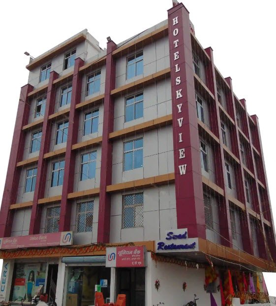
Aurangabad
Aurangabad district is located in the state of Bihar, India.
Aurangabad, Bihar (BR), India
Aurangabad district is located in the state of Bihar, India. It is situated in the eastern part of the state and falls under the Magadh division. The district is named after the Mughal emperor Aurangzeb, who ruled over a significant part of India during the 17th century.
Aurangabad district covers an area of approximately 3,389 square kilometers and is surrounded by the districts of Gaya to the north, Jehanabad to the east, Arwal to the southeast, and Rohtas to the west. The district is predominantly rural, with agriculture being the primary occupation of the people.
Must-see Attractions in Aurangabad
2 Famous Places | Page 1


